I was exploring google maps/street view and stumbled upon some fun things:
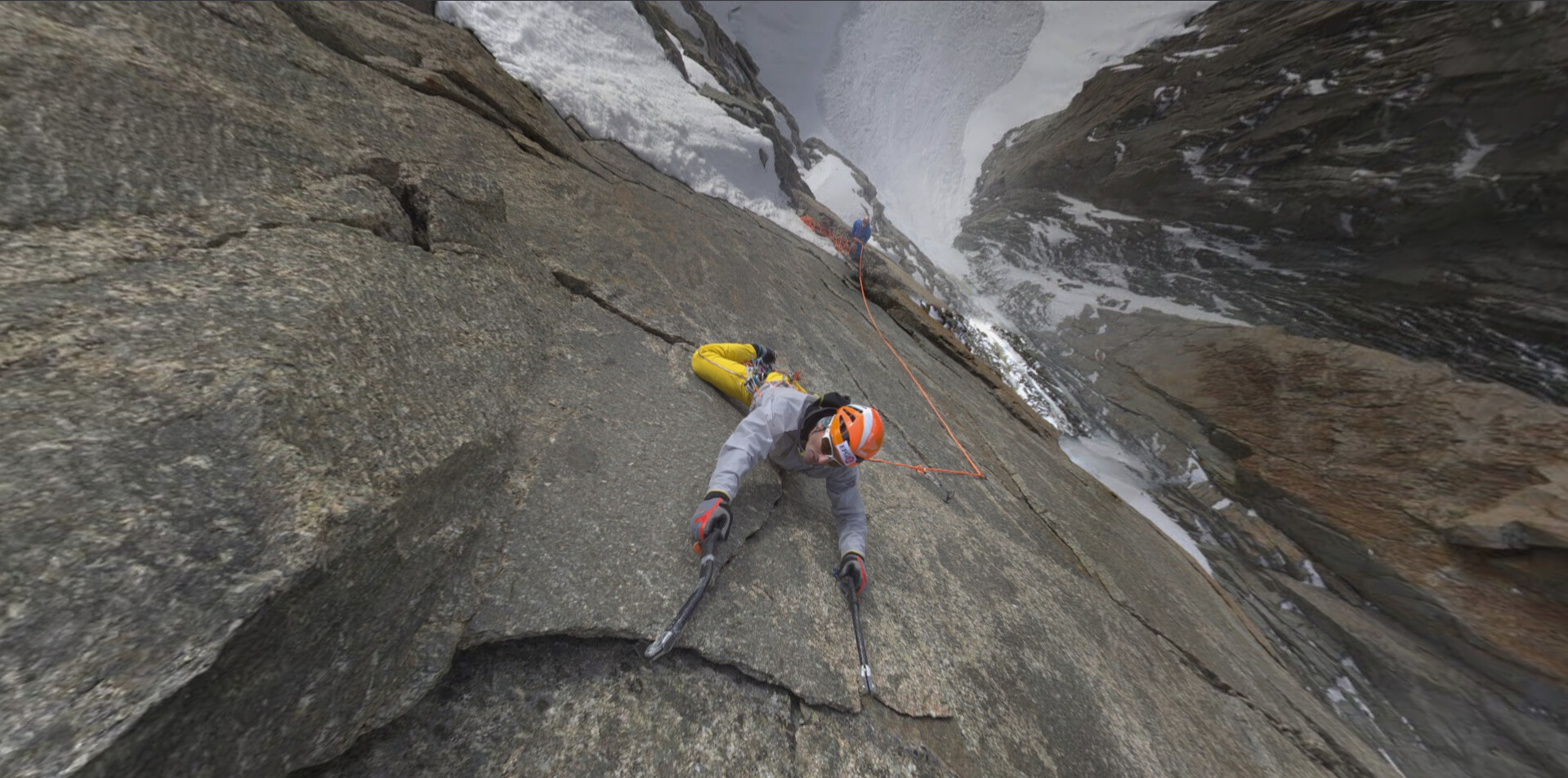
the whole climbing of the Mont Blanc (highest summit of the Alps and of western europe, 4806m) has been streetviewed. Not just some occasional pictures, the whole track.
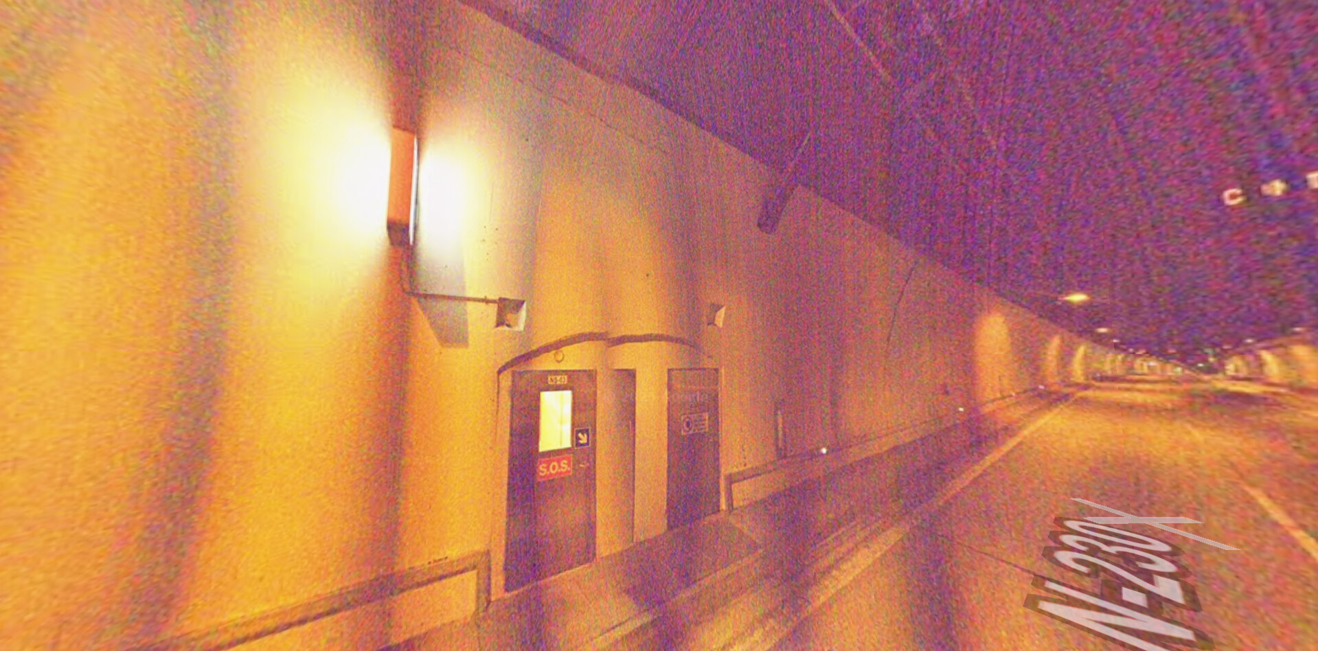
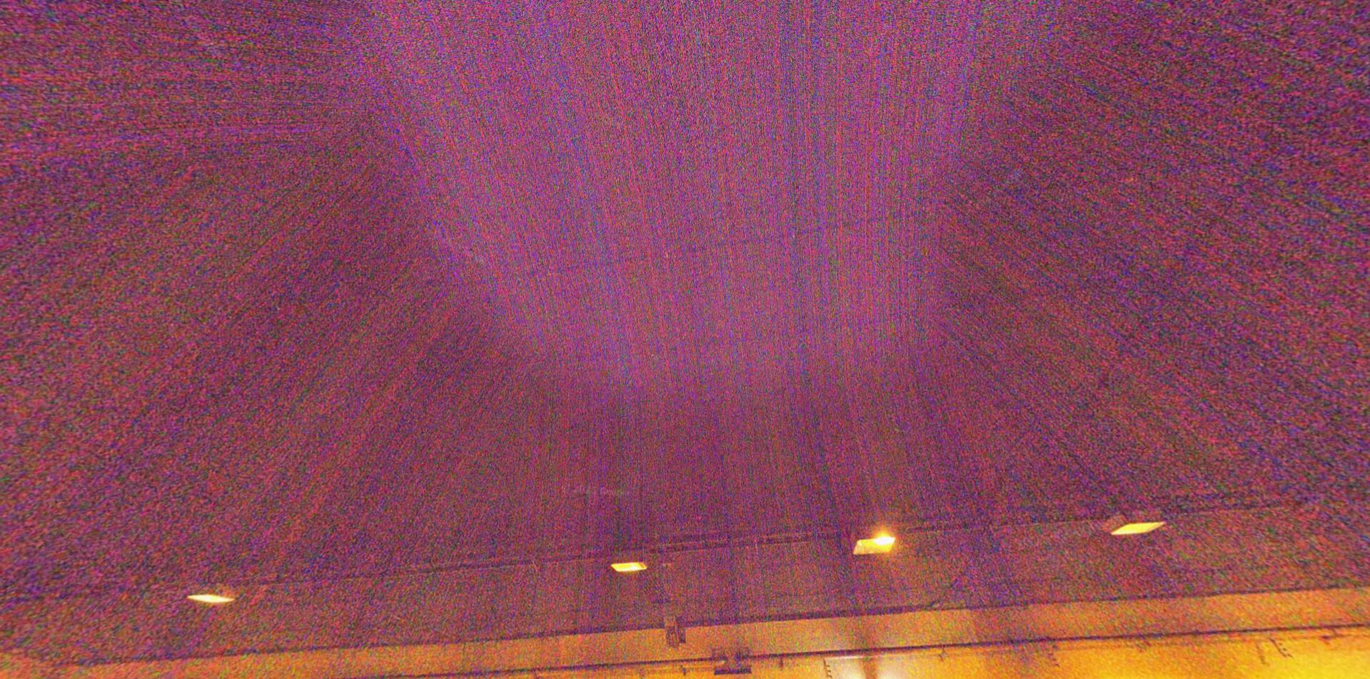
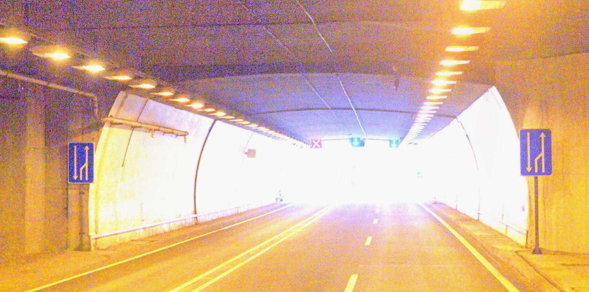
second finding: some tunnels are streetviewed, and you get this weiiiird iso 3D effects that i find so cool. It’s even better to go see it by yourself on maps.
btw I used a firefox addon called ‘Screenshot for Street View’ to hide the HUD, super useful if you’re a little bit creative and want to use the pictures in some way